 |
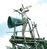
Large Aerial View |
|
Large Aerial View |
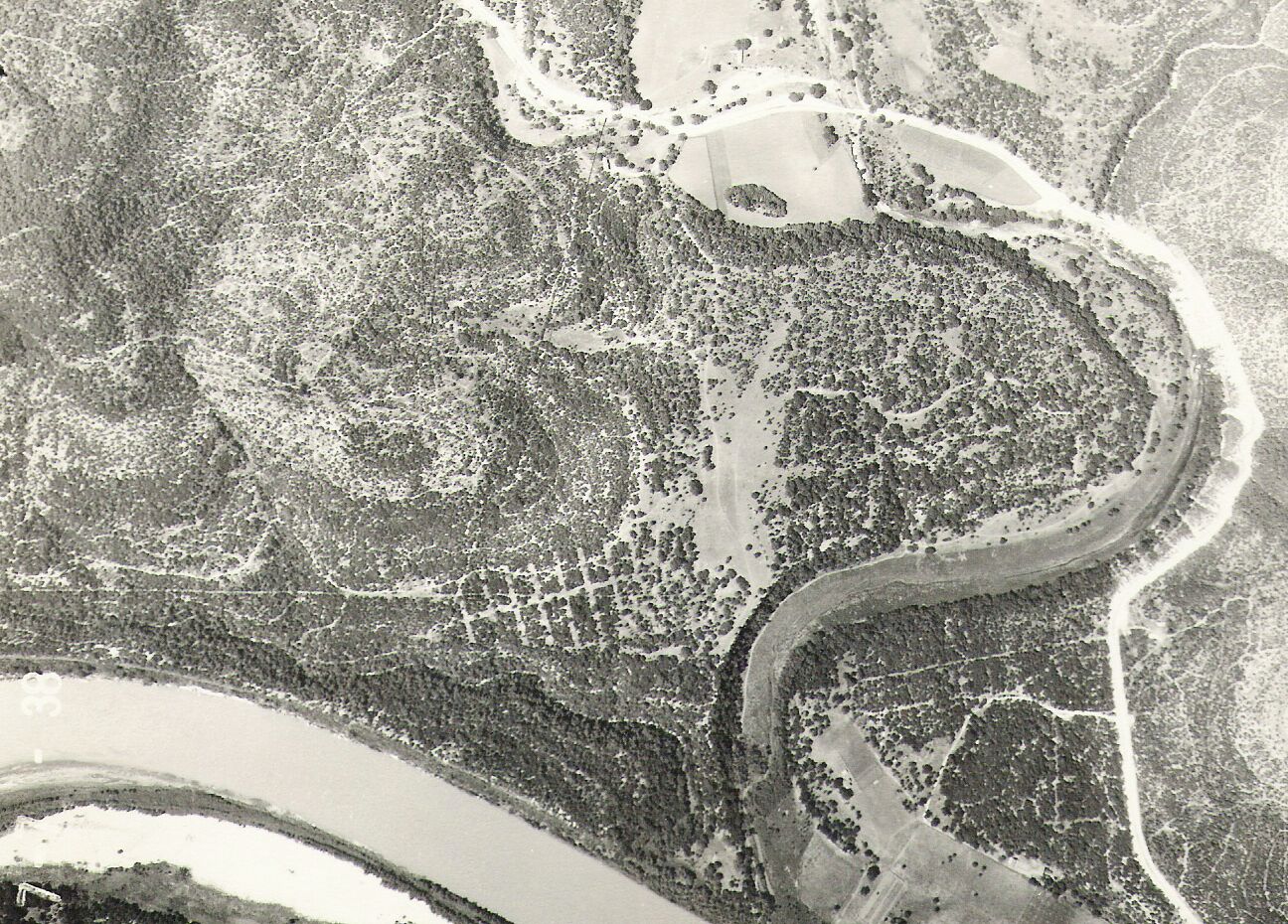
1. Go to "Google" search engine. 2. Click on "Maps" 3. Click on "Satellite" 4. Type in "Camp Tom Wooten, Texas" 5. Click on "Search Maps" 6. Click on "A" " Camp Tom Wooten Google Earth Placemark" 7. If you have DSL on your computer, you can go down as close to 50 feet above the camp. Would suggest that you start at 200 feet. The dining hall will be shown to the left of the tennis courts. Return to Maps |